
GIS Full Form-Geographic Information System
by Shashi Gaherwar
0 2851
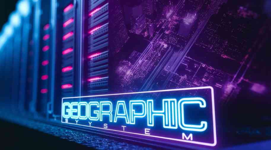
Geographic Information System (GIS): Mapping the Future
A Geographic Information System (GIS) is a technological framework used for capturing, storing, analyzing, and visualizing spatial and geographic data. GIS combines hardware, software, and data to help organizations and individuals understand patterns, relationships, and geographic trends. This technology is widely used in various sectors, including urban planning, agriculture, disaster management, and environmental conservation.
Components of GIS
GIS consists of several key components that work together to process and analyze spatial data:
- Hardware: Physical devices such as computers, GPS units, and servers used to collect and process GIS data.
- Software: GIS software like ArcGIS, QGIS, and Google Earth Pro, which help in data visualization, analysis, and map creation.
- Data: Spatial and non-spatial data, including maps, satellite images, GPS coordinates, and demographic information.
- People: GIS professionals, analysts, and decision-makers who interpret and use the data for various applications.
- Methods: Techniques and algorithms used for data processing, such as remote sensing, geocoding, and spatial analysis.
Applications of GIS
GIS technology is utilized in a variety of fields for different purposes:
- Urban Planning and Development:
- Helps in land-use planning, transportation management, and infrastructure development.
- Supports smart city projects by integrating real-time data for better decision-making.
- Environmental Management:
- Monitors deforestation, biodiversity conservation, and climate change patterns.
- Assists in tracking pollution levels and natural resource management.
- Disaster Management and Risk Assessment:
- Used to predict, analyze, and manage natural disasters such as earthquakes, floods, and hurricanes.
- Helps in evacuation planning and emergency response coordination.
- Agriculture and Precision Farming:
- Supports soil mapping, crop monitoring, and irrigation management.
- Helps farmers optimize resources and improve productivity through remote sensing.
- Transportation and Logistics:
- Used in route optimization, traffic analysis, and fleet management.
- Enhances public transportation planning and infrastructure development.
- Healthcare and Disease Mapping:
- Helps track disease outbreaks and healthcare facility locations.
- Assists in public health decision-making and pandemic response planning.
How GIS Works
GIS operates by processing spatial data in several steps:
- Data Collection: Gathering information from satellites, GPS devices, and field surveys.
- Data Storage: Organizing geographic data in databases and cloud systems.
- Data Processing: Using software to clean, analyze, and interpret spatial information.
- Data Visualization: Representing data in the form of interactive maps, 3D models, and charts.
- Decision-Making: Utilizing GIS insights for strategic planning and problem-solving.
Advantages of GIS
- Enhanced Decision-Making: Provides accurate geographic insights for better policy and business strategies.
- Data Integration: Combines multiple data sources for comprehensive spatial analysis.
- Real-Time Monitoring: Allows continuous tracking of environmental and human activities.
- Cost Efficiency: Reduces expenses by optimizing resource allocation and infrastructure planning.
- Improved Communication: Helps governments, businesses, and researchers share geographic information effectively.
Challenges in GIS Implementation
Despite its benefits, GIS faces several challenges:
- High Initial Costs: Requires investment in software, hardware, and skilled professionals.
- Data Accuracy Issues: Errors in data collection can affect analysis and decision-making.
- Integration Complexity: Combining GIS with existing IT systems can be challenging.
- Privacy Concerns: Handling sensitive location data raises security and ethical issues.
- Technical Expertise: Requires trained personnel to operate GIS tools effectively.
Future of GIS
With advancements in technology, GIS is expected to become more powerful and accessible:
- AI and Machine Learning: Enhancing spatial analysis through automation and predictive modeling.
- Cloud-Based GIS: Enabling real-time data sharing and remote access.
- Internet of Things (IoT): Integrating IoT devices for real-time geographic data collection.
- Augmented Reality (AR) and Virtual Reality (VR): Improving interactive mapping experiences.
- 5G Connectivity: Enabling faster data transmission and real-time GIS applications.
Geographic Information Systems (GIS) play a vital role in analyzing and managing spatial data across multiple industries. From urban planning to disaster management, GIS provides valuable insights for decision-making and problem-solving. As technology advances, GIS continues to evolve, offering innovative solutions to address global challenges. Understanding and utilizing GIS effectively can drive smarter and more sustainable development in the future.
Further Learning Resources
If you’re passionate about building a successful blogging website, check out this helpful guide at Coding Tag – How to Start a Successful Blog. It offers practical steps and expert tips to kickstart your blogging journey!
For dedicated UPSC exam preparation, we highly recommend visiting www.iasmania.com. It offers well-structured resources, current affairs, and subject-wise notes tailored specifically for aspirants. Start your journey today!

Share:
You May Also Like


Discount Coupons


Expand Your Business Reach


Comments
Waiting for your comments